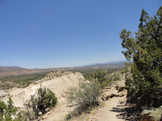
On Wednesday, May 30th - the last full day of Angela & Linda's adventure trip to New Mexico, we decided to hike the Kasha-Katuwe Tent Rocks National Monument. It is located on the Pajarito Plateau in north-central New Mexico - roughly 50 miles north of Albuquerque, near the Pueblo de Cochiti. "Kasha-Katuwe" means white cliffs in the traditional Keresan language of the pueblo. It is "a remarkable outdoor laboratory, offering an opportunity to observe, study and experience the geological processes that shape natural landscapes. The elevation of the monument ranges from 5,570 to 6,760 feet above sea level". For someone from near Rock Hill, SC - which sits at 676 ft above sea level - it can make for quite a challenging hike! We had to stop frequently to catch our breath and slow our racing hearts.
It was a gorgeous day - hot and dry! Would have been smarter if we'd remembered to bring water - but since it was only a 3 mile hike total - we figured we'd be just fine. Except that it got hotter as we went - and by the time we were done, Angela was almost running back to the car to get to water. Any minute we expected to just see puffs of dust as she sprinted ahead! LOL! But like the good hikers we were, we kept to a pack and helped each other over rocks and crevices and made it back all in one piece, if a little dehydrated and sunburned. LOL!
The cone-shaped rock formations look like tents (hence the name), and are the products of volcanic eruptions that occurred 6-7 million years ago and left pumice, ash and tuff deposits over 1,000 feet thick.. As a result of uniform layering of volcanic material, bands of grey are interspersed with beige and pink colored rock along the cliff face.
We hiked up the trail toward the base of the cliffs and then entered the canyon - enjoying the views and the brief blissful areas of shade. The trail winds 1.5 miles through the canyon, up the side of the cliff (630 ft ) and to the mesa top for excellent views of the Sangre de Cristo, Jemez and Sandia mountains.
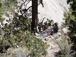
As we got toward the top, Linda opted to stop in the shade and rest while Angela and I continued to the top. The views were just incredible! We were all but jumping and yelling about how beautiful it was! Of course, it could have been the lack of oxygen and water... But it was truly an amazing experience and well worth the climb. I highly recommend a visit if you ever get out this way!


No comments:
Post a Comment